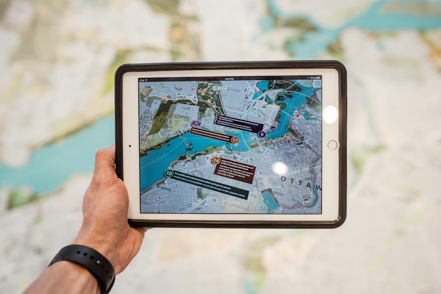
This GIS & Remote Sensing program is designed to introduce you to the world of geospatial data, digital mapping, and spatial analysis even if you have no prior experience. You’ll learn how to work with maps, satellite imagery, and GPS data to solve real-world problems in areas like urban planning, environmental monitoring, agriculture, and logistics.
The training is practical and hands-on, ensuring you gain the skills to analyze spatial data, create maps, and present insights visually. By the end of the course, you’ll have real mapping projects and the foundation to pursue GIS-related careers.
No GIS experience required
Work with real-world spatial data
Learn ArcGIS & QGIS
GIS is used across multiple industries
Build practical, job-ready skills
students are put in a whatsapp job pool
Discounted CV and LinkedIn setup
Internship available
Career Montorship available for students
Students between ages 15-25 get free membership registration into career quest portal
Course Level
Beginner → Job-Ready
Duration
8 Weeks (2 Months)
Delivery
Project-Based | Industry-Focused
CQF aims to improve youth employability by fostering a sustainable ecosystem that promotes employability, innovation, and inclusiveness.